


Welcome to Bella Vista Hotel & Studio’s map page!
Below, you’ll find directions for getting around Benitses and Corfu Town. Directions from Corfu International Airport to Bella Vista Hotel have also been provided. We look forward to having the pleasure of welcoming you to Benitses very soon!
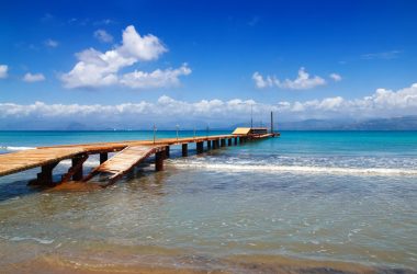
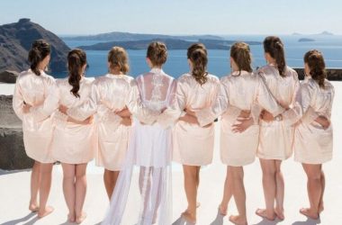
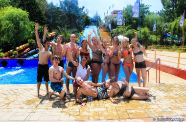
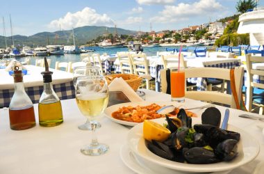
To make a reservation, click here, or visit our other pages to find more information about Corfu island, such as its beautiful sandy beaches, all the adventurous activities you can do here, or the mouth-watering food you can’t try anywhere else.
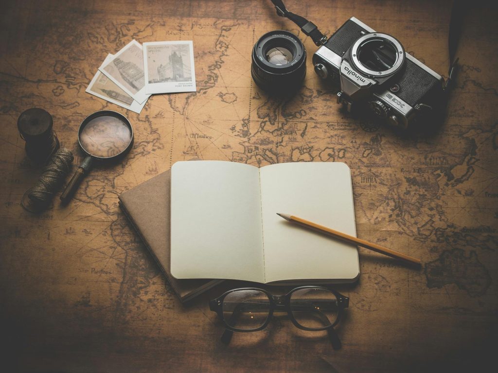
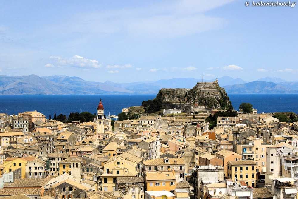
When you do arrive in our sunny home – the best of the Greek islands – be sure to pick up a map of Corfu and spend some time highlighting our many idyllic beaches. Make a note of where Corfu Old Town is and pick your favourite spots to gaze out at the Ionian Sea. The north-eastern coast has many places that are perfect for doing just that.
But in the centre of your map of Corfu, there is a traditional little fishing village named Benitses, home to Bella Vista. It’s the perfect base to explore the island, and it has some brilliant hikes with jaw-dropping views nearby. We’ll be waiting for you there.
Corfu Trail Maps
In addition to a map of Corfu beaches, it’s a great idea to pick up a trail map. If you’re going for a hike – especially if you don’t have an internet connection in rural areas – a map of Corfu in English is essential. Feel free to print out these hiking route maps below, or ask us for them at reception. During the summer months, please remember to bring water and wear a hat and sunscreen for all trails!


Route 1
DISTANCE: 1.5 KM
MARKED BY: A – B – J – F – J
NAME: BENITSES SPRINGS
DIFFICULTY LEVEL: 2/5THE CORFU MAP FOR ROUTE 1 WILL HELP YOU EXPLORE THE BASICS OF BENITSES AND ITS NEIGHBOURING VILLAGES. THIS WALK IS LOW-TO-MEDIUM INTENSITY AND GUIDES HIKERS THROUGH THE GREEN HILLS AND THE UNIQUE NATURAL BEAUTY NEARBY.
Route 2
DISTANCE: 2.7 KM
MARKED BY: A – B – J
NAME: PETRIFIED FOREST
DIFFICULTY LEVEL: 2.5/5ROUTE 2 IS A CIRCULAR WALK THAT FEATURES A FAIRLY STEEP CLIMB. IT OFFERS GUESTS INCREDIBLY REWARDING VIEWS OF THE CORFIOT COUNTRYSIDE. YOU’RE SURE TO MEET FRIENDLY LOCALS ALONG THE WAY, TOO. THIS IS A MEDIUM-INTENSITY HIKE THAT TAKES APPROXIMATELY TWO HOURS TO COMPLETE.
Route 3
DISTANCE: 3.5 KM
MARKED: A – O – N
NAME: AGIA PARASKEVI
DIFFICULTY LEVEL: 3.5/5ROUTE 3 IS ANOTHER MEDIUM-INTENSITY HIKE THAT REQUIRES A TREK UP A FAIRLY STEEP HILL. THE TRAIL TAKES ABOUT ONE HOUR TO COMPLETE AND OFFERS EXCELLENT VIEWS OF BENITSES VILLAGE FROM SEVERAL BEAUTIFUL VANTAGE POINTS. YOU CAN REFILL YOUR WATER BOTTLE FROM THE CHURCH SPRING ON THE WAY.
Route 4
DISTANCE: 6.5 KM
MARKED: A – O – M – L – K
NAME: STAVROS – AGIOI DEKA – SAINT ILIAS MONASTERY
DIFFICULTY LEVEL: 4.5/5ROUTE 4 IS A HIGH-INTENSITY, CIRCULAR TRAIL THAT IS VERY POPULAR WITH OUR ADVENTUROUS GUESTS. THIS PATH FEATURES PANORAMIC VIEWS OF BOTH SIDES OF CORFU ISLAND. USE THE CORFU TRAIL MAP OF ROUTE 4 TO WANDER INTO QUIETER VILLAGES, AWAY FROM THE TOURIST HOTSPOTS OF MAJOR LOCATIONS. BEAR WITNESS TO THE VIBRANT WILDFLOWERS AND FIND A SHADY LOCATION TO SIT UNDER AN OLIVE GROVE.WHILE THE PATH TAKES AROUND SIX HOURS TO HIKE IN ITS ENTIRETY, THERE IS A SHORTCUT AVAILABLE FOR THOSE WHO SEEK A SHORTER TRIP.
Route 5
DISTANCE: 8 KM
MARKED: A – B – J – G – E – D – C
NAME: PLATANOS – ACHILION PALACE
DIFFICULTY LEVEL: 5/5ROUTE 5 IS THE MOST CHALLENGING OF ALL THE HIKES LISTED ON THESE MAPS. THIS FOUR-HOUR CIRCULAR PATH LEADS FROM BENITSES ALL THE WAY TO THE ACHILLEION PALACE AND BACK. TAKE THIS TRAIL AND EXPLORE MILES OF LUSH GREEN HILLS, FIELDS AND FORESTS. YOU’LL ENCOUNTER THE SPRING OF PRINCESS SISSI AS WELL AS HER PALACE.PLEASE MAKE SURE YOU ARE WELL-PREPARED FOR THIS HIKE. IT IS NOT FOR BEGINNERS
HOW TO GET TO OUR HOTEL IN BENITSES

BY CAR FROM CORFU TOWN PORT
Distance: 13 km / 8 miles
Journey time: 30 min approx. depending on traffic
Turn RIGHT when you exit the port and look for signs to the airport and Lefkimi. Ethniki Lefkimis is the main road to South Corfu. After approximately 7 km, TURN LEFT following signs to LEFKIMI. Benitses village is 5 km after that.
Upon entering Benitses village, you’ll pass the children’s playground on the right, as well as the taxi rank, Benitses square, Hotel Potamaki, and Connection internet café & bar. After these, on your left, you’ll pass Posidonia and Big Bite. TURN RIGHT on the first small street after the Big Bite restaurant, opposite Avra Taverna. Bella Vista Hotel is located just off the main road in a small residential street.
BY CAR FROM CORFU AIRPORT
Distance: 11 km / 6.5 miles
Journey time: 15 min
After you exit the airport, TURN LEFT. Travel along Lefkimi National Road. Follow signs towards Lefkimi. After approximately 6 km, turn left, following the signs toward Lefkimi. You will reach Benitses village after 5 km.
Once in Benitses village, follow the instructions outlined above (from Corfu ferry port).
BY CAR FROM LEFKIMMI FERRY PORT
Distance: 25 km / 15.5 miles
Journey time: 30 min approx. depending on traffic
Follow signs to Corfu Town. Pass through the villages of Messonghi and Moraitika. You will come to Benitses village in 4 kilometres. On your left, you will pass Marbella Hotel and the Luis Regency Hotel.
Upon entering Benitses from the south, you’ll pass local car parking on your right, followed by Corfu Maris Hotel. Further down, on your left, you’ll pass Zorbas Taverna and Barbayiannis Cheers Bar. Look out for Avra Taverna on your right – Bella Vista Hotel is nestled down a small side road to your left, opposite Avra Taverna.